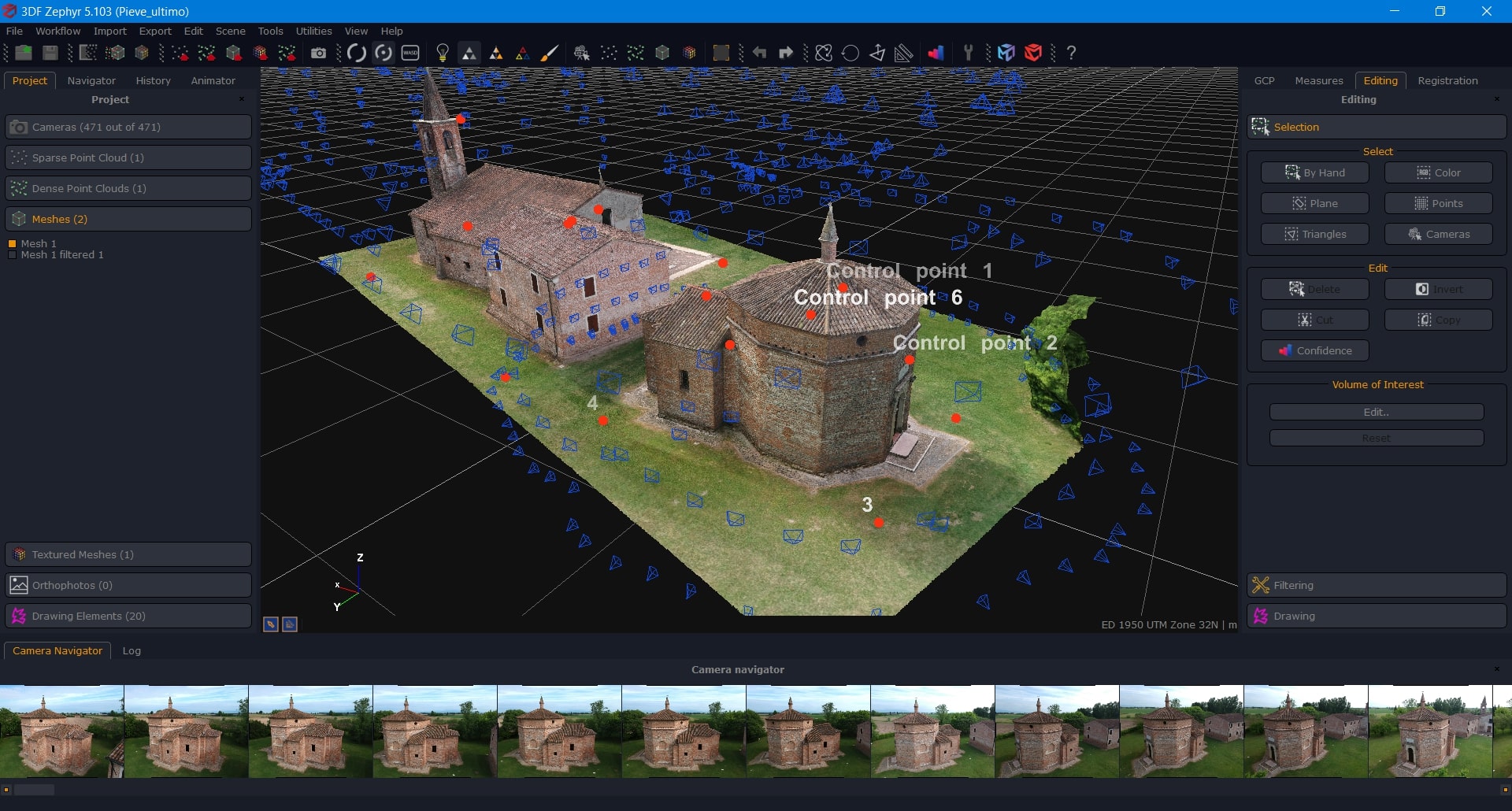
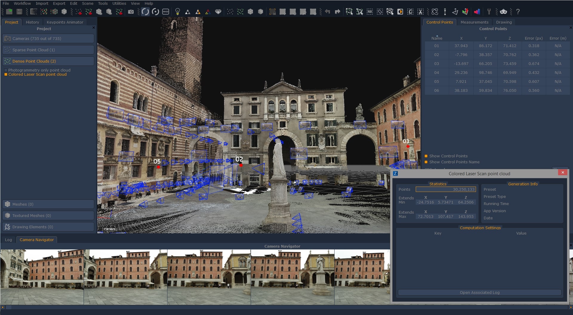

3DF Zephyr is photogrammetry software developed and marketed by the Italian software company 3Dflow. It allows you to automatically recreate a 3D model from a photo. Whether you’re working with camera sensors, drones, or laser scanners, The software can handle a variety of 3D reconstruction and scanning challenges.
OVERVIEW OF 3DF ZEPHYR
3DF Zephyr is a versatile photogrammetry software developed by 3Dflow to help create high-quality 3D models from standard 2D photographs. Using advanced algorithms and sophisticated image processing techniques, The software enables users from a variety of industries to accurately and precisely convert their image collections into 3D renderings.
Essentially, 3DF Zephyr streamlines the photogrammetry workflow by automating many of the complex tasks involved in model reconstruction. Users input a series of overlapping images into the software, and 3DF Zephyr intelligently analyzes the visual data to extract key features, match corresponding points, and reconstruct scene geometry. This automated process greatly reduces the need for manual intervention and makes it accessible to both novice and experienced users.
One of the highlights of 3DF Zephyr is its ability to generate dense and detailed point clouds from input images. These point clouds form the basis for the next stages of the reconstruction process, providing a high-resolution representation of the photographed surface. In addition, The software offers advanced filtering and optimization tools to refine point cloud data, ensuring optimal quality and fidelity in the final 3D model.
After creating a point cloud, 3DF Zephyr helps create polygon meshes and texture models through a seamless and intuitive workflow. Users can easily convert point cloud data, polygon faces, and surface textures from original images. The software offers a variety of settings and parameters for fine-tuning the network process, allowing users to achieve the desired precision and accuracy.
FEATURES OF 3DF ZEPHYR
PHOTOGRAMMETRY AND 3D RECONSTRUCTION
3DF Zephyr is a professional photogrammetry solution that converts photo and video frames into detailed 3D models. It automatically analyzes images, identifies common points, calculates camera positions, and reconstructs the geometry of the photographed object or environment. This makes it useful for cultural heritage, research, architecture, VFX, game development, and digital preservation.
CREATE HIGH-QUALITY 3D MODELS
The software can create detailed 3D meshes from captured images. Users can process objects, buildings, terrain, and large environments while preserving realistic geometry and surface details. The generated models can be enhanced with various reconstruction and optimization settings to achieve the right balance between quality, processing time, and resource consumption.
AUTOMATIC CAMERA CALIBRATION
3DF Zephyr includes automated image and camera calibration capabilities that simplify the photogrammetry workflow. After importing images, the software searches for matching visual features and determines spatial relationships between images. Users can review the resulting camera positions and reconstruction data to identify potential alignment issues.
TEXTURES AND REAL SURFACES
After generating geometry, 3DF Zephyr can create textured models using information extracted from the original image. Texture generation helps to reproduce the color and visual details of the original material, producing models suitable for visualization, presentation, digital archiving, and other professional applications.
POINT CLOUD AND DIGITAL MAP MODELS
3DF Zephyr supports the creation and processing of point clouds for projects involving objects, landscapes, and surveyed areas. It can also extract digital elevations and maps from suitable photographic datasets. These capabilities make the software useful for workflows related to mapping, environmental documentation, inspection, and surveying.
MEASUREMENT AND GEOSPATIAL WORKFLOWS
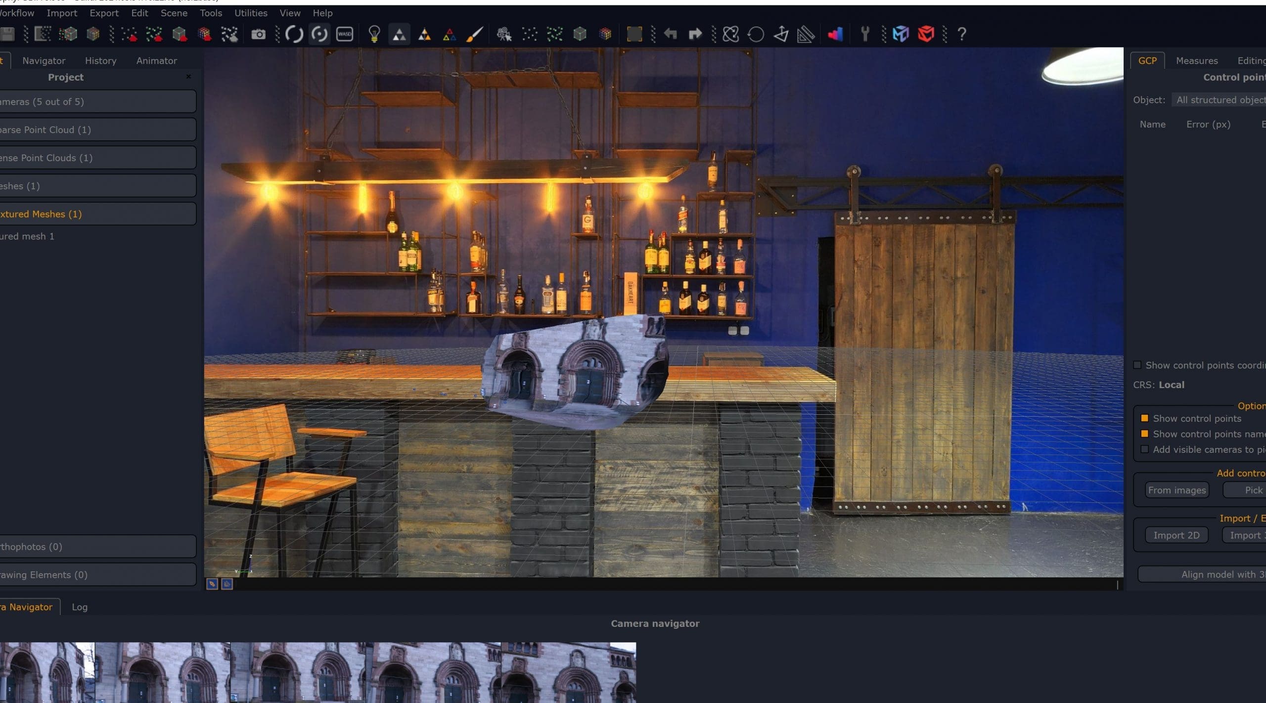
The software provides tools for measuring reconstructed scenes and working with spatial information. Users can extract distances, areas, angles, and other measurements directly from the reconstructed environment. Georeferencing and control point workflows help align photogrammetric projects to real-world coordinate systems when appropriate reference data is available.
ADVANCED EDITING AND RECONSTRUCTION TOOLS
3DF Zephyr provides tools to refine and manipulate reconstructed data. Users can remove unwanted features, crop regions of interest, edit point clouds, and adjust reconstruction parameters. This helps clean up the project before generating the final mesh, texture, and point cloud.
SYSTEM REQUIREMENTS
- Supported OS: Windows 11/10/8.1/7
- Memory (RAM): 2 GB of RAM or more is required
- Hard Disk Space: 500 MB or more required